As an Amazon Associate, we earn from qualifying purchases. Some links may be affiliate links at no extra cost to you. Although our opinions are based on curated research, we haven't used these products. Articles generated with AI.
Enhancing Maritime Safety With AIS Collision Avoidance
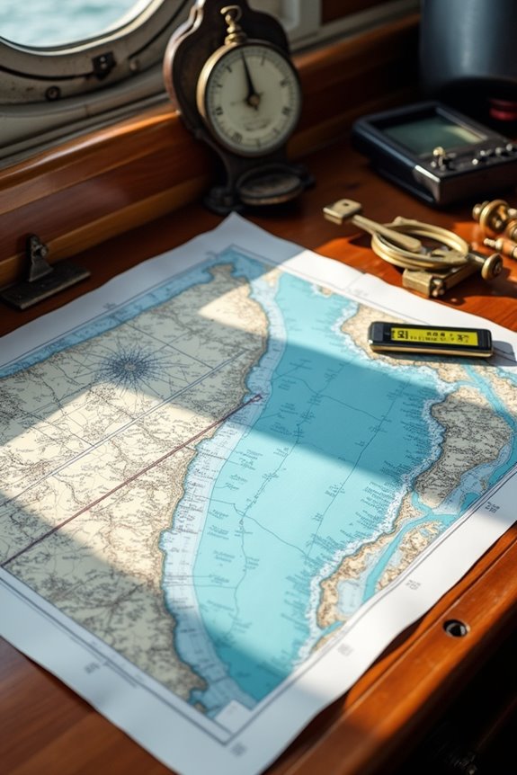
We all want safer seas, right? That’s where AIS—Automatic Identification System—steps in, letting vessels chat their location, speed, and course over VHF radio to avoid collisions. Think of it as a digital buddy keeping watch alongside radar, improving situational awareness even in fog or crowds. AIS links up with electronic charts for clear navigation, though it’s not perfect—spoofing and data gaps sneak in. Curious about how this technology shapes smarter, safer voyages? Let’s explore.
Key Takeaways
- AIS provides real-time vessel position and speed data, enhancing collision prevention and maritime safety.
- Integration with radar and electronic charts enables comprehensive navigation and precise collision risk assessment.
- AIS improves situational awareness by continuously sharing vessel movements and environmental changes over VHF signals.
- Advanced sensors and cameras complement AIS, ensuring accurate tracking in poor visibility or complex traffic conditions.
- Future innovations in AI and cybersecurity strengthen AIS reliability and proactive collision avoidance capabilities.
Understanding AIS Technology and Its Role in Navigation
You may be interested

While you might not realize it, AIS—short for Automatic Identification System—is like the maritime version of a social network for ships, helping them “see” and chat with each other to avoid collisions. Using AIS technology, vessels constantly share their positions, courses, and speeds over VHF radio waves combined with GPS data. It’s like a real-time group text for the seas, allowing ships to track one another accurately. This vessel tracking isn’t just helpful—it’s essential for safety at sea. Think of it as a digital watchtower that boosts situational awareness by making sure every ship knows who’s nearby and where they’re headed. So next time you imagine open water isolation, remember, ships actually share a lively, invisible conversation thanks to AIS. Neat, right?
Key Features That Improve Collision Avoidance
Because steering busy waterways is no walk on the beach, modern ships rely on some pretty smart tools to keep everyone safe. One big AIS benefit is how it works alongside radar, blending dynamic info like a vessel’s position and speed with solid radar visuals to spot potential collisions early. Add in high-tech navigation sensors and cameras, and we’ve got a full picture—even in fog or at night. This teamwork enhances collision prevention by giving us real-time tracking and precise vessel identification. Sure, AIS supports us, but it doesn’t replace our judgment; think of it as a helpful co-pilot. Together, these key features create a safety net that keeps us all cruising with confidence in these often crowded, unpredictable waters. Additionally, using AIS Class B transponders ensures that recreational vessels can effectively communicate their position and status, contributing to overall maritime safety.


How AIS Enhances Real-Time Situational Awareness
Even though the sea can change on a dime, AIS gives us a steady stream of real-time info that helps keep everyone on the water safe and sound. By offering real time data on vessel locations, AIS enhances our awareness of the ever-shifting maritime environment. Ever wonder how ships avoid bumping into each other? That’s where vessel tracking comes in—AIS lets us monitor traffic continuously, so we’re not sailing blind. This system uses VHF radio waves, giving us better coverage than traditional radar, especially when conditions get rough or night falls. It’s like having an electronic lookout sharing essential info at all times, helping us make smarter decisions, avoid collisions, and manage traffic smoothly. Together, this tech keeps us connected and safer, cruising with confidence through busy waterways.

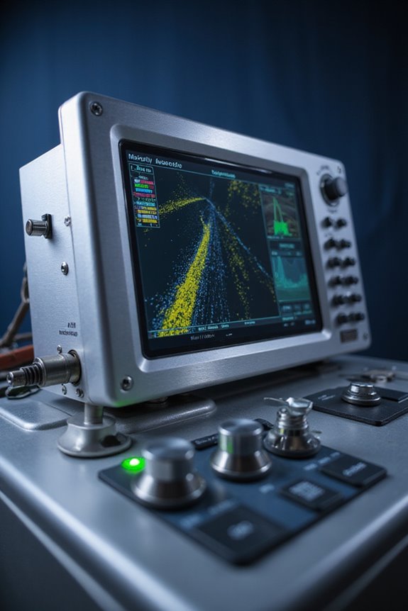
SwitchFire Sonar: Offers two display modes that allow you to add or remove detail at the push of a button; Adjust sonar returns to account for water depth, temperature, and turbulence, or watch lure presentations in real-time

Down Imaging Technology: Provides a clear view beneath your boat to identify timber, brush, bridge pilings, rocks, and other underwater structures with great detail as you patrol the water

AIS (Automatic Identification System) sends a distress alert on VHF frequencies, received by vessels with AIS receivers or plotters within a 5-mile radius (conditions apply).
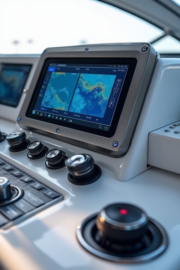
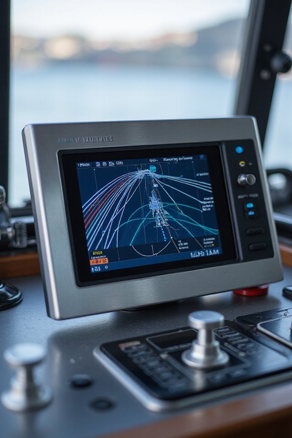
Integrating AIS With Radar and Electronic Chart Systems
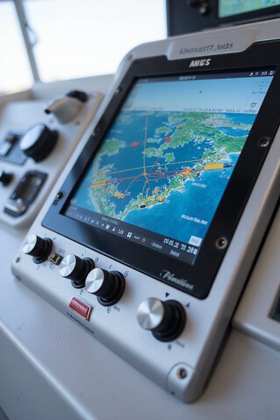
When it comes to keeping our voyages safe and smooth, integrating AIS with radar and electronic chart systems is a game changer. Radar integration lets us detect every object, AIS or not, while AIS shares key details like ship names and courses. Together, they give us a full, real-time picture right on one screen—clever data interoperability at its best. Ever tried juggling two screens? This overlay simplifies everything, cutting down our workload and boosting situational awareness. The electronic chart system then wraps it all up, showing accurate positions and helping us spot potential collisions early. With these systems talking seamlessly, we gain smarter alarms and better decisions. So, why settle for partial info when we can have the whole story—and navigate smarter?
Applications of AIS in Maritime Traffic Management
Combining AIS with radar and chart systems gives us a clearer picture at sea, but there’s a whole other layer to explore: managing maritime traffic using AIS data itself. Ever wonder how we keep busy shipping lanes organized? Traffic pattern analysis helps us spot where ships cluster, turning AIS data into heat maps that highlight congestion spots. These insights are gold for route optimization, letting vessels pick safer, faster paths that ease traffic jams and reduce risks. Plus, with five-year historical AIS records, we can track evolving shipping lanes to plan better and protect marine habitats. It’s like having a GPS not just for one ship, but for the entire crowd sailing the seas. Teamwork between tech and mariners makes our waters safer and smarter to navigate.
Overcoming Challenges and Limitations of AIS
Although AIS has revolutionized how we track ships and manage maritime traffic, it’s far from perfect—and that means we’ve got some bumps to smooth out. For starters, AIS vulnerabilities like lack of sender verification make spoofing and fake transmissions a real headache. Can you imagine relying on data that might be false? That’s why we need stronger authentication methods, like digital signatures from evolving tech such as VDES. Then there’s data accuracy—errors or deliberate AIS switching off create gaps and distortions, complicating vessel tracking. But we’re not stuck here; combining satellite and terrestrial signals, along with smarter analytics, helps us fill those blind spots. Sure, AIS isn’t flawless, but tackling these challenges together keeps us sailing toward safer seas.
The Impact of AIS on Maritime Safety and Decision Making
We all want safer seas, right? AIS technology boosts maritime safety by improving decision making efficiency through real-time position sharing and vessel tracking. This enhanced situational awareness allows crews to anticipate potential collisions well before they become serious threats. Plus, integrating AIS into safety protocols means vessels follow international guidelines better, reducing risks in crowded or foggy waters. Beyond preventing crashes, AIS helps coastal authorities manage traffic smoothly, keeping ports organized and cutting congestion. It’s like having a maritime air traffic controller onboard and ashore simultaneously! With AIS data, we can also learn from past incidents, improving future strategies. So, embracing AIS isn’t just a tech upgrade—it’s an important step toward smarter, safer sailing. Ready to navigate with confidence? We sure are.
Future Trends and Innovations in AIS Technology
As maritime technology sails forward, future trends in AIS (Automatic Identification System) promise to transform how we navigate and stay safe at sea. AI advancements and machine learning now help us predict collisions and spot threats faster—imagine your ship’s radar getting smarter by the minute! Satellite integration combined with terrestrial signals means better coverage, even in the most remote waters, thanks to clever data fusion. Cloud solutions let us share real-time info across fleets and ports, making teamwork smoother than ever, but of course, cybersecurity measures must keep hackers at bay. Hardware innovations also make AIS devices easier to install and more reliable under tough conditions. So, are we ready to sail into a future where AIS technology is our smartest co-captain? We certainly are.
Frequently Asked Questions
How Is AIS Data Protected From Unauthorized Access or Hacking?
We protect AIS data from unauthorized access or hacking by implementing strong access controls and applying data encryption. Together, we create a secure environment where trusted users can safely share and rely on AIS information without worry.
What Are the Installation Requirements for AIS on Small Recreational Vessels?
Think of AIS installation as fitting puzzle pieces—we need to match equipment selection to vessel specifications, guarantee regulatory compliance, and position antennas carefully. Together, we build a safer boating community by following these essential steps closely.
Can AIS Be Used for Search and Rescue Coordination in Remote Areas?
We understand AIS capabilities are essential for search and rescue, especially in remote operations. Together, we rely on Satellite-AIS to track vessels globally, coordinate assets effectively, and guarantee everyone’s safety, no matter how far from shore they are.
How Do Port Authorities Use AIS Data for Environmental Monitoring?
Like a watchful guardian, we use AIS applications to gather environmental data, helping us monitor pollution hotspots and protect marine zones. Together, we build a safer, cleaner port community, united by shared responsibility and care.
What Training Is Recommended for Mariners to Effectively Use AIS Systems?
We recommend AIS training with simulator exercises to really get hands-on experience. These courses help us learn system basics, improve situational awareness, and build confidence working together safely on the water as one skilled community.