As an Amazon Associate, we earn from qualifying purchases. Some links may be affiliate links at no extra cost to you. Although our opinions are based on curated research, we haven't used these products. Articles generated with AI.
Vessel Tracking and Geofencing: Revolutionizing Marine Safety
We all know the ocean can be tricky to navigate, right? That’s why vessel tracking systems like GPS and AIS are game changers—they show us where ships are in real time, helping avoid collisions and speeding up rescue missions. Geofencing adds another layer, setting up digital “no-go zones” around sensitive areas to keep unauthorized boats out. Together, these tools not only boost safety and security but also help keep our seas cleaner. Stick with us to explore how these technologies are reshaping marine safety.
Key Takeaways
- GPS and AIS integration provides real-time vessel position and identification, preventing collisions and enhancing rescue coordination.
- Geofencing creates virtual boundaries around offshore assets, alerting authorities to unauthorized vessel entries and suspicious activities.
- Continuous vessel tracking enables early detection of mechanical issues, improving preventive maintenance and overall maritime safety.
- Emerging technologies like AI and satellite data optimize route planning and anomaly detection, boosting operational efficiency and safety.
- Compliance with evolving maritime regulations ensures safer navigation and supports environmental sustainability in vessel operations.
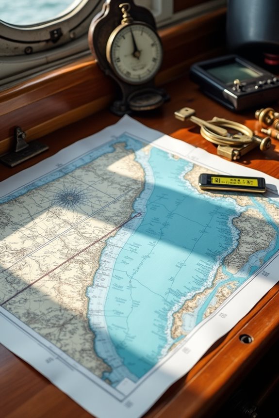
The Role of GPS and AIS in Modern Vessel Navigation
You may be interested
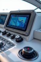
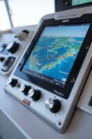

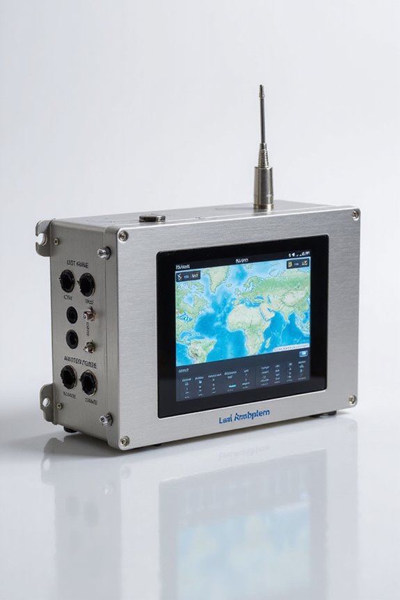
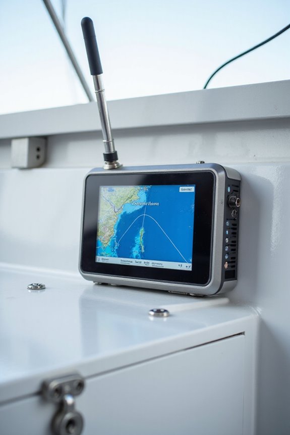
While we might not all be steering the high seas ourselves, understanding how GPS and AIS work together in modern vessel navigation is pretty fascinating—and even fundamental for maritime safety. GPS accuracy gives us pinpoint location data to within just a few meters, which is significant when vessels navigate tricky waters or busy ports. Meanwhile, AIS communication acts like a digital ship-to-ship chat, broadcasting real-time info about a vessel’s position, heading, and identity. This teamwork prevents collisions and helps coordinate emergency rescue efforts. Think of GPS as the navigator’s trusted map and AIS as the vessel’s friendly neighbor, always sharing important details. Together, they create a safer maritime community, connecting every ship and shore station with seamless situational awareness. Who knew marine navigation could be this smart?

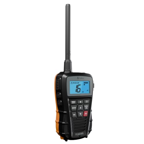
High Visibility Floating Core - The perfect compact VHF radio for marine use on any size vessel, designed with the high-visibility orange floating core for buoyancy and easy retrieval if dropped overboard
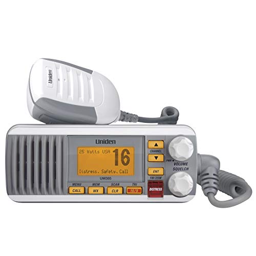
Uniden's Marine Radios protect you from what lies ahead, as well as getting you out of dicey waters, by informing you the moment a storm starts brewing and transmitting your location should you need help.
Geofencing: Enhancing Security Around Offshore Assets
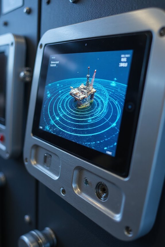
Since offshore assets like oil rigs and pipelines sit in some pretty remote—and sometimes risky—spots, keeping them secure can feel like guarding a treasure chest in the middle of the ocean. That’s where geofencing applications come in, creating virtual boundaries using GPS or RFID for real-time vessel monitoring. When a vessel crosses these invisible lines, alerts pop up instantly, helping us spot suspicious activities or unusual approaches before they become problems. It’s like having a neighborhood watch on water, but way more high-tech. Plus, geofencing helps manage boat traffic, stopping unauthorized anchoring near sensitive zones—no one wants a crowd messing up the party by the platform. Together, these tools keep us connected, informed, and ready to safeguard essential offshore infrastructure 24/7.

Includes transducer for built-in Garmin CHIRP traditional sonar plus CHIRP ClearVü scanning sonar
COVERS ALL FREQUENTLY NEEDED TOPICS: Spelling Alphabet, Channel Usage, Emergency Calls, Safety Calls, Hi/Low Power Choice, Best Practices for Clear Communication, Radio Checks, Weather Radio, and Squelch. A portable, handheld cheat sheet for all boats.

Easy-to-use 9” chartplotter with a bright, sunlight-readable touchscreen display with improved detail, clarity and viewing angle
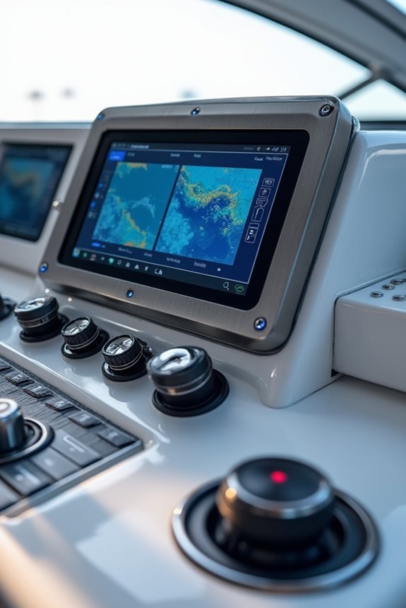
Benefits of Integrating Tracking Technologies for Maritime Safety
Although the vastness of the ocean often makes maritime safety feel like a game of hide-and-seek with trouble, integrating tracking technologies changes the playbook entirely. By monitoring vessels continuously, we can catch issues early, enabling preventive maintenance that keeps engines humming and accidents at bay. Ever worry about how quickly help arrives in an emergency? Real-time tracking tightens that response window, letting rescue teams pinpoint distressed vessels swiftly and coordinate efforts without missing a beat. Plus, this tech keeps crew safety front and center, helping with both health checks and evacuation guidance when things go sideways. So, rather than hoping for smooth sailing, we’re actively steering through safer seas—using data to keep everyone onboard and our oceans cleaner. Sounds like a win-win, right?
HEAVY DUTY 8” TRACK – Provides a secure, adjustable base for rod holders, camera arms, cup holders, and electronics, adding versatile mounting space to your vessel or vehicle.

RLS (Return Link Service) confirms that Search and Rescue has received the distress signal, notifying the beacon owner that assistance is on the way.

Emerging Technologies Shaping the Future of Vessel Monitoring
When we look at how vessel monitoring is evolving, it’s clear that emerging technologies are steering us into a new era of maritime safety and efficiency. Satellite integration now offers real-time data with less blind spots, even in the most remote parts of the ocean—talk about eyes everywhere! AI optimization takes this further by predicting vessel movements and spotting anomalies before they become problems. Together, they help us plan smarter routes, saving fuel and avoiding collisions. We’re also seeing how IoT and digital twins give us a 360-degree view of ship health and operations, making maintenance proactive rather than reactive. So, isn’t it comforting to know that these advanced tools are working behind the scenes, keeping our vessels safer and our seas smarter? We sure think so!
Navigating Compliance: Regulations Governing Vessel Tracking and Geofencing
Emerging tech is reshaping how we monitor vessels, but there’s another big piece of the puzzle we can’t ignore: regulations. With constant regulatory changes, staying compliant is no small feat. From the IMO’s directives to the EU’s FuelEU Maritime kicking in 2025, we must adapt promptly. Electronic certificates for seafarers under STCW amendments and new emissions rules like EEDI Phase 3 challenge us to step up our game. Compliance challenges also arise in meeting stricter ballast water management and cybersecurity standards, especially as digital tools become the norm. But don’t worry, these regulations aren’t just hurdles—they’re our roadmap to safer, greener seas. It’s clear: mastering compliance is essential if we want to sail smoothly into this tech-driven future together.
Frequently Asked Questions
How Do Vessel Tracking and Geofencing Impact Commercial Fishing Operations?
It is understood that safety, compliance, and operational efficiency are key for us all in commercial fishing. With vessel tracking and geofencing, we boost safety, streamline operations, and stay compliant—helping our entire community thrive together on the seas.
Can Recreational Boaters Use AIS and Geofencing Technologies?
Aren’t we all seeking safer, more connected boating experiences? We understand AIS benefits us by enhancing visibility, while geofencing applications keep us informed and secure. Together, they help us enjoy the water with confidence and community.
What Are the Costs Associated With Implementing Vessel Tracking Systems?
When we do a cost analysis, we see system investment varies—from $1,500 to $5,000 per vessel plus annual fees. Together, we should consider start-up, maintenance, and scaling expenses to justify this valuable commitment for all involved.
How Is Crew Privacy Protected When Using AIS and Geofencing?
We guarantee crew consent is always prioritized, combining data security measures to protect personal details. This way, we all maintain trust and respect privacy while benefiting from AIS and geofencing’s safety features together.
Are There Environmental Concerns Linked to Increased Satellite Vessel Monitoring?
Did you know satellite emissions contribute considerably to our planet’s carbon footprint? Together, we must address these environmental concerns and ocean noise impacts, ensuring our collective responsibility for sustainable monitoring while protecting both seas and skies for future generations.